Whispers of Woods, Windy Weather, Waterbodies and Western Ghats- Kolaribetta Trek
Kolaribetta is the second highest peak in the Nilgiri hills of the Western Ghats, located in Udhagamandalam, Tamil Nadu, It is the highest point in the Mukurthi National Park and Chaliyar river basin.

Whispers of Woods, Windy Weather, Waterbodies and Western Ghats- Kolaribetta Trek
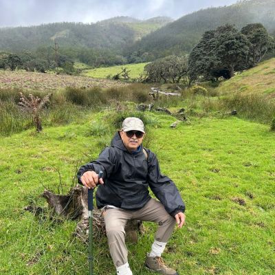
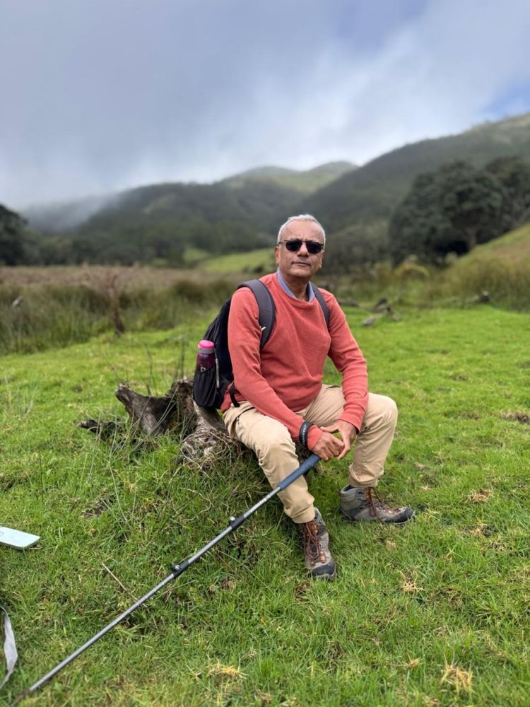
Dr. Vasanth K Joshi Dates- 27th and 28th September 2025.
Organizer: Mr. Thenmurugakani Nader (Wanderers and Nomads)
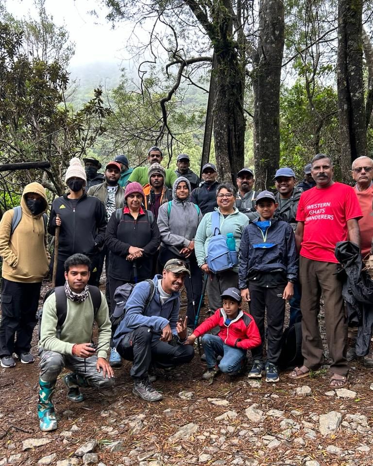
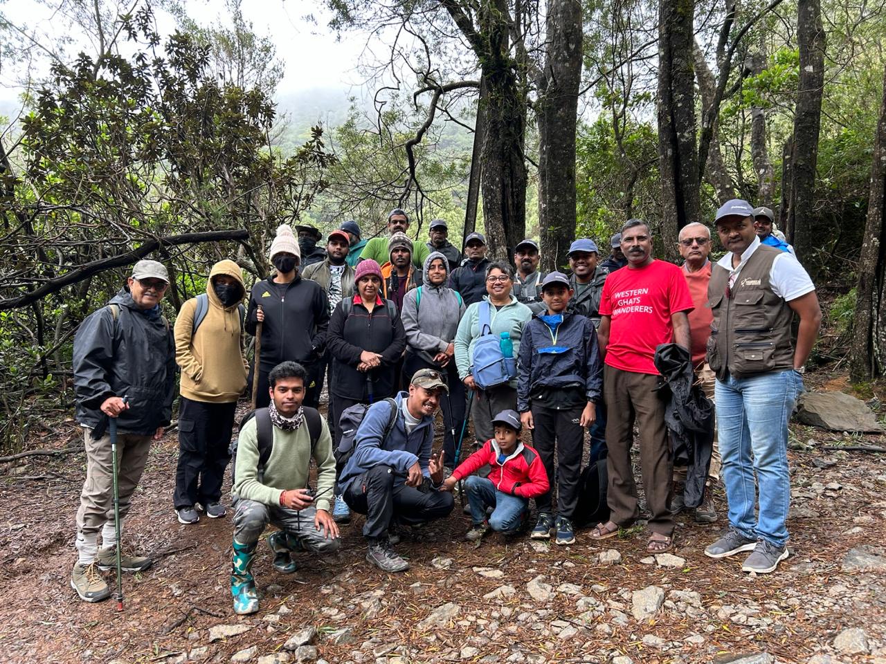
Group Size: 27
Total Distance Trekked: 10.1 Kms
Total Time Taken: 4hrs and 1 minute
Average Speed: 24 minutes
Elevation Gained: 2637 feet
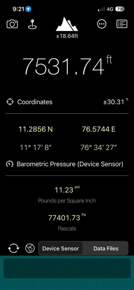
Height at Summit: 7532 feet MSL
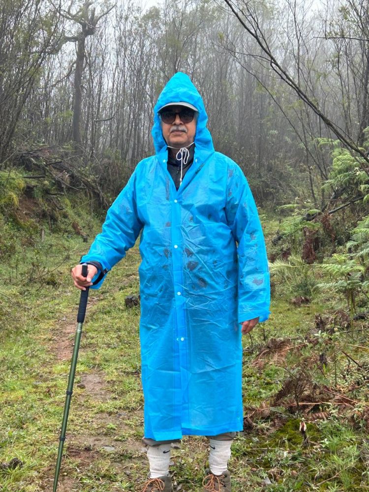
Difficulty Level: Easy to Moderate. Winds, Condensation, Rain, Wet and slippery ground, Water stream to cross, Meadows, steep climb initially and at the summit. Temperature at Cauliflower Shola- 17C Temperature at Summit- 11C
Kolaribetta is the second highest peak in the Nilgiri hills of the Western Ghats, located in Udhagamandalam, Tamil Nadu, It is the highest point in the Mukurthi National Park and Chaliyar river basin. It stands at an altitude of 7532 feet above sea level. It is a shelter for Nilgiri Langur, Nilgiri Tahr and Nilgiri Marten.

Day 1 – 27th September 2025:
Bangalore to Avalanche As usual, like all outstation treks, the day started at the unearthly hour of 3.40am. A shower and coffee brightened me. Rajesh, Lakshman and I, began our journey well before dawn from Bangalore, the car headlights slicing through the still morning air and picked up Vijay near Kengeri Metro station. Rajesh Kuppadakath, ever the steady hand on the wheel, led us with quiet confidence. We stopped for breakfast of Idlis and Pongal near Maddur. Unfortunately, we missed Vada that appeared just as we were leaving the restaurant. The road rolled past Mysore, Nanjangud and Gundlepet. Soon, we entered the wild corridors of Bandipore National Park. The tall teak and sandalwood trees stood like silent sentinels, their dense foliage filtering golden shafts of sunlight. Herds of spotted deer grazed nonchalantly, a wild boar scuttled across, and far away we caught glimpses of langurs swinging through the canopy. The excitement only grew as the road carried us across into Mudumalai Tiger Reserve, where the jungle deepened in its green silence. Somewhere in the distance, a peacock spread its feathers. Past Mudumalai, the climb began in earnest. Masinagudi welcomed us with its rough-hewn hills, winding paths and sudden bursts of wildlife. Here Rajesh’s driving skills shone – the ascent to Ooty tested us with 36 hairpin bends in one stretch, followed later by more twisting climbs until we had negotiated a total of 71 hairpin bends by the time we reached Avalanche Camp Shed.
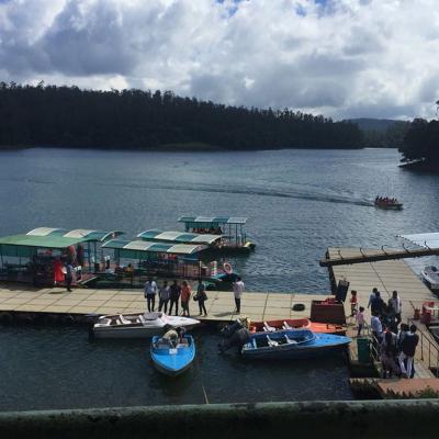
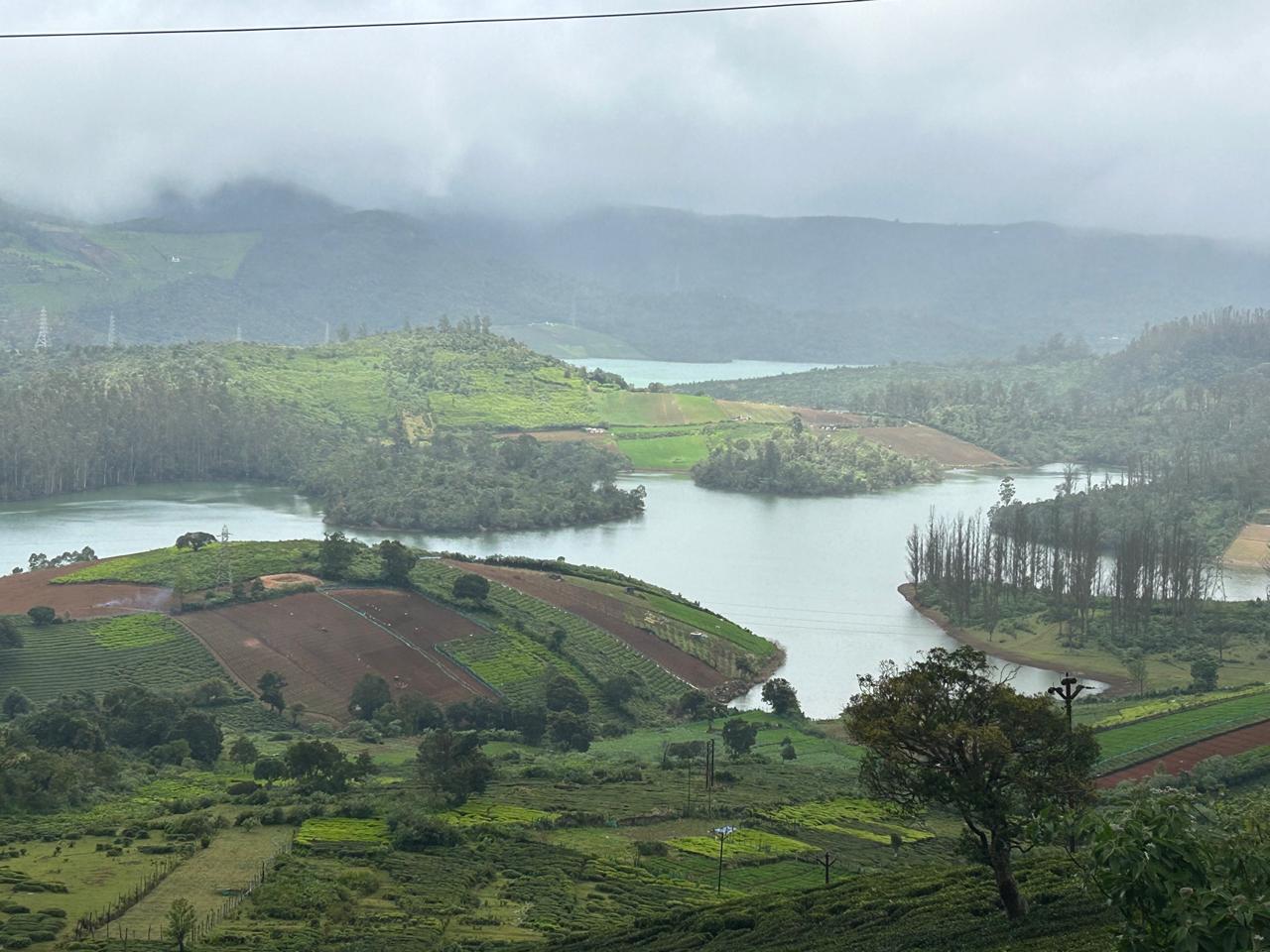
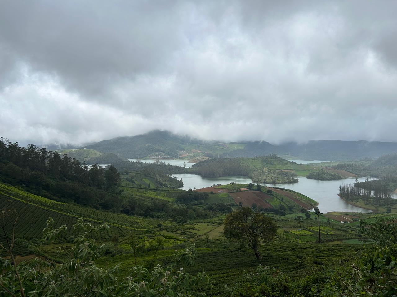
On the way we stopped for a photo opportunity at the Ooty Lake and Emarald Lake. The highlands of Ooty greeted us with their cool, misty lakes – emerald waters reflecting eucalyptus groves and hillsides dotted with tea estates. From Ooty we drove further to Manjur, finally reaching Avalanche Trekking Shed by 2 pm.
The dormitory accommodation surprised us with its comfort – clean cots, warm beds, blankets, and functional toilets and bathrooms with hot water. The adjoining canteen served a tasty, wholesome lunch, and we knew we were in good hands for the night. Thenmurugakani Sir had made excellent arrangements. In the evening, we visited the magnificent Avalanche Lake, a vast water body surrounded by rolling meadows and shola forests. Created by a massive landslide in the 1800s, the lake today feeds into the Avalanche Dam, an important reservoir that supplies water to Ooty and several surrounding towns and villages. The dam also contributes to hydroelectric power generation, its waters carefully harnessed amidst pristine wilderness. The lake shimmered under the fading light, its stillness broken only by the wind rustling through the pines. We returned early for dinner and tucked ourselves into bed by 8:30 pm, eager for the trek that awaited us the next day.

Day 2 – 28th September 2025: Trek to Kolaribetta
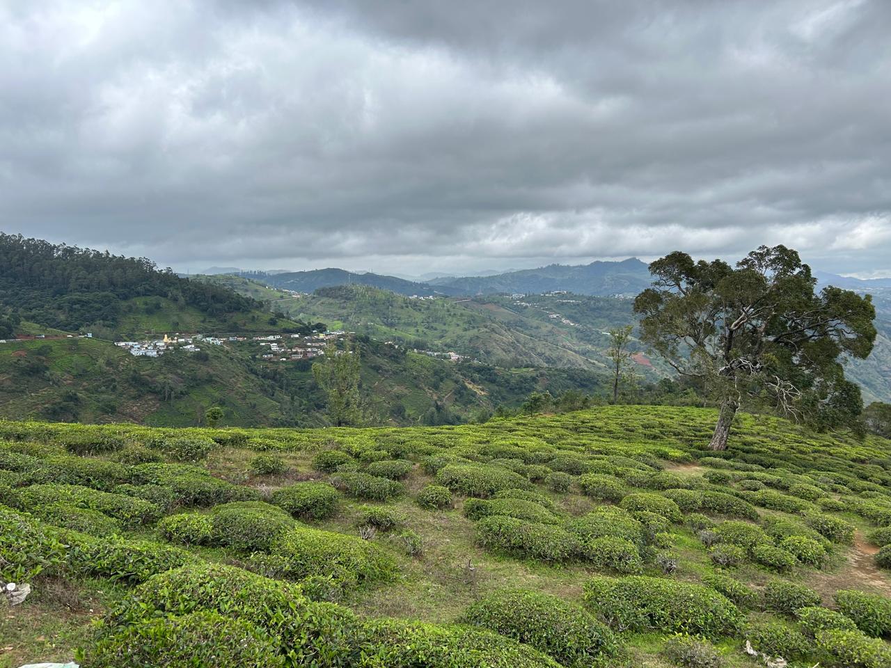
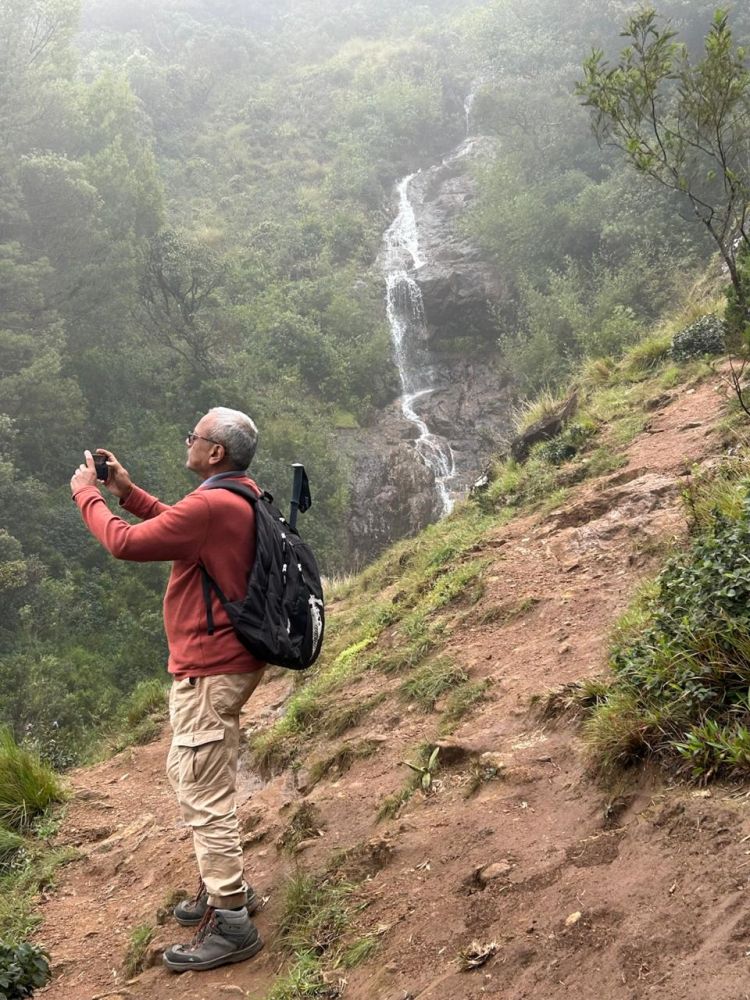
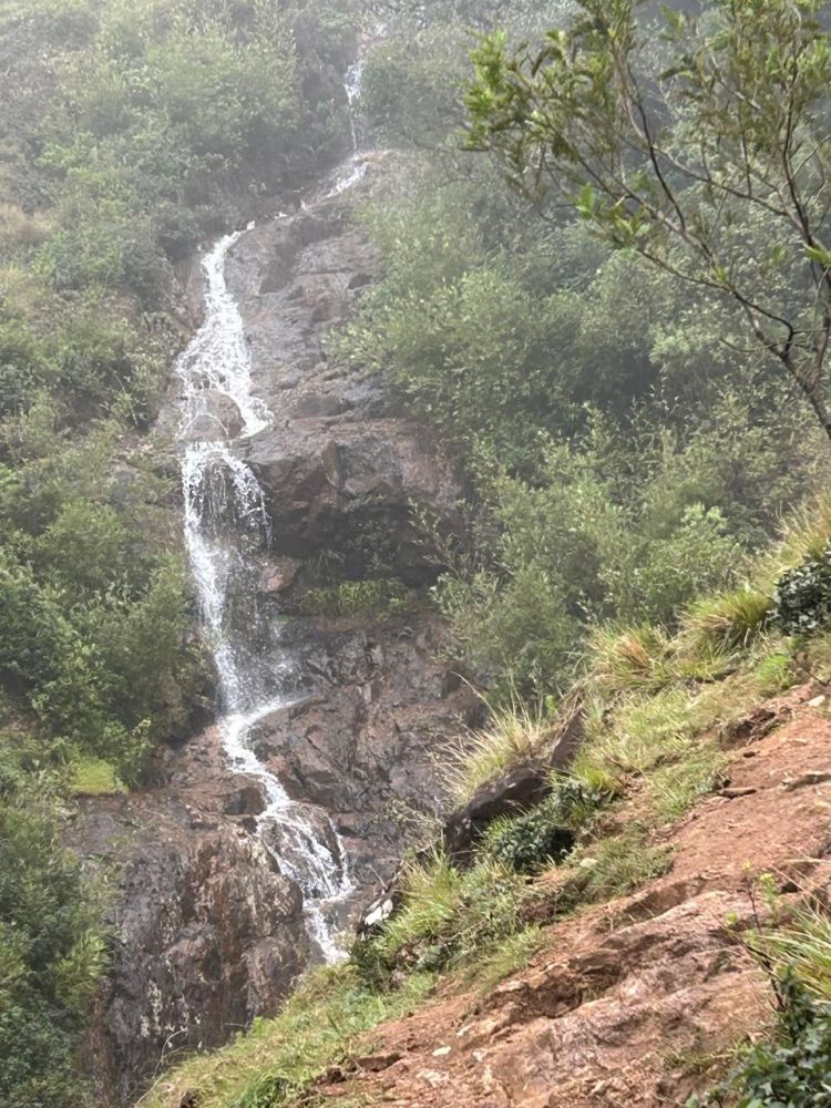
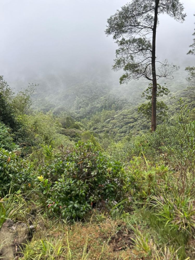
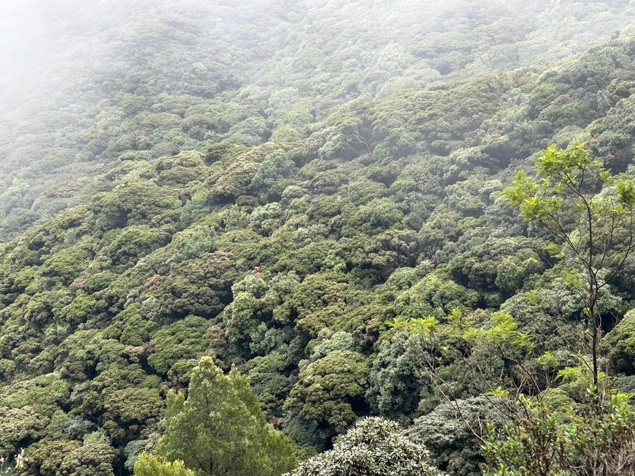
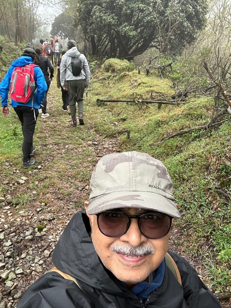
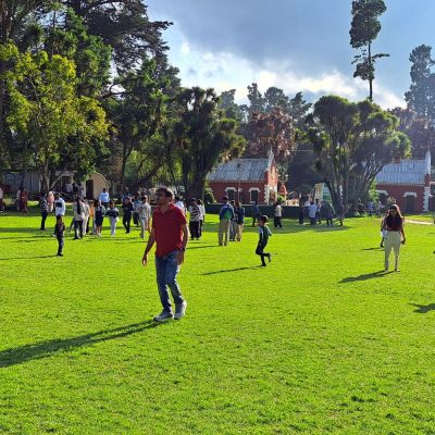
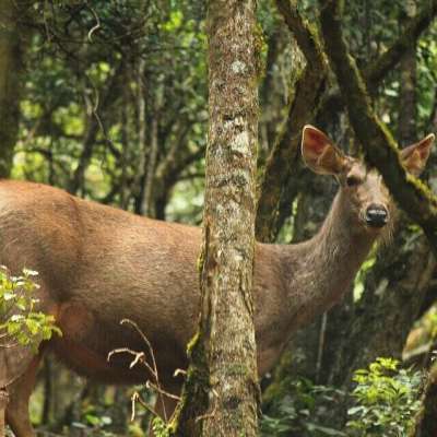
The reception point for the Kolaribetta trek is the Avalanche Ecotourism Center check post where we have to finish the formalities like filling up disclaimer form, group photos, getting instructions, etc. The serene village of Avalanche offers an enchanting journey through a high-altitude mountain ecosystem, where a local jeep ride through the cauliflower shola forest unveils breathtaking waterfalls, expansive grasslands, and abundant wildlife like gaurs and sambar deer. The landscape, dotted with wattle plantations from the British era, evokes the charm of the English countryside, while the vibrant shola forest stretches endlessly into the horizon. Along the way, stunning views of Mukurthi Peak and the Upper Bhavani Dam captivate the senses, culminating in a visit to the Kolaribetta tower, where panoramic vistas complete this unforgettable adventure in nature's embrace. However, on this day there were thick clouds and mist in the air that prevented any view of the mountains around or valley below. The drive is on the Avalanche to Upper Bhavani Road, locally known as Ramaiah Road. Mr. Ramaiah was the chief engineer for the Kundah hydroelectric power generation project and completed this mega engineering marvel without any time or cost overrun. The group of 27 Trekkers with the guides We boarded a Forest Department vehicle, which seemed to have no control panel or any working instruments except the gear lever and the steering wheel. The driver was an expert one who negotiated all the climbs and bends very smoothly and carried us to the base point – Cauliflower Shola, named for its curious canopy of short, rounded trees that from a distance resemble clusters of cauliflower. However, to me it looked more like Broccoli as it was all green. A small, gurgling waterfall greeted us at the start, it’s cool spray mingling with the mist that hung low over the valley.
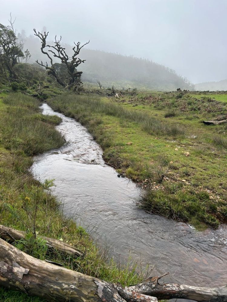
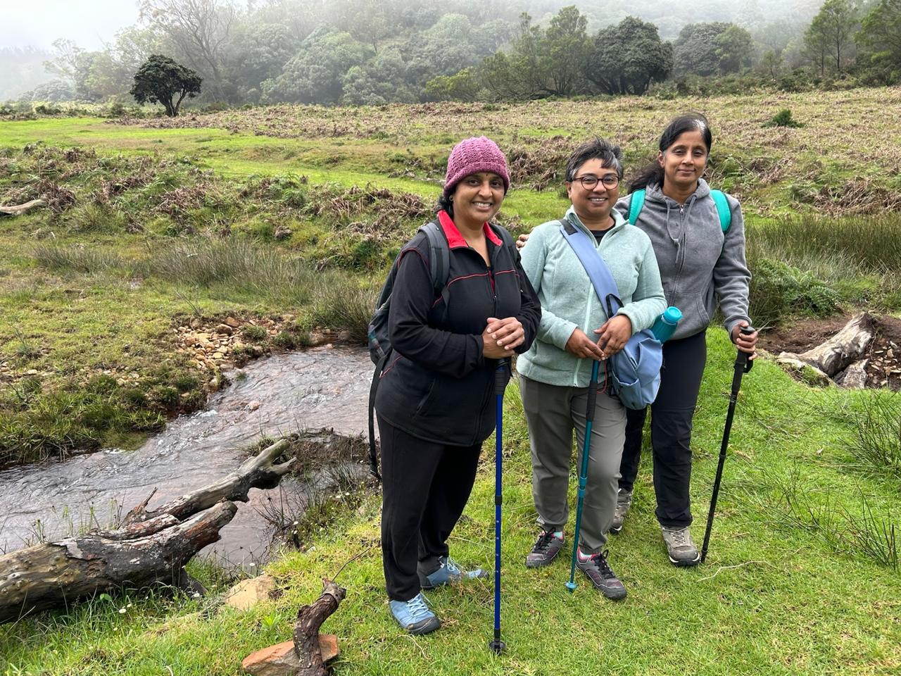
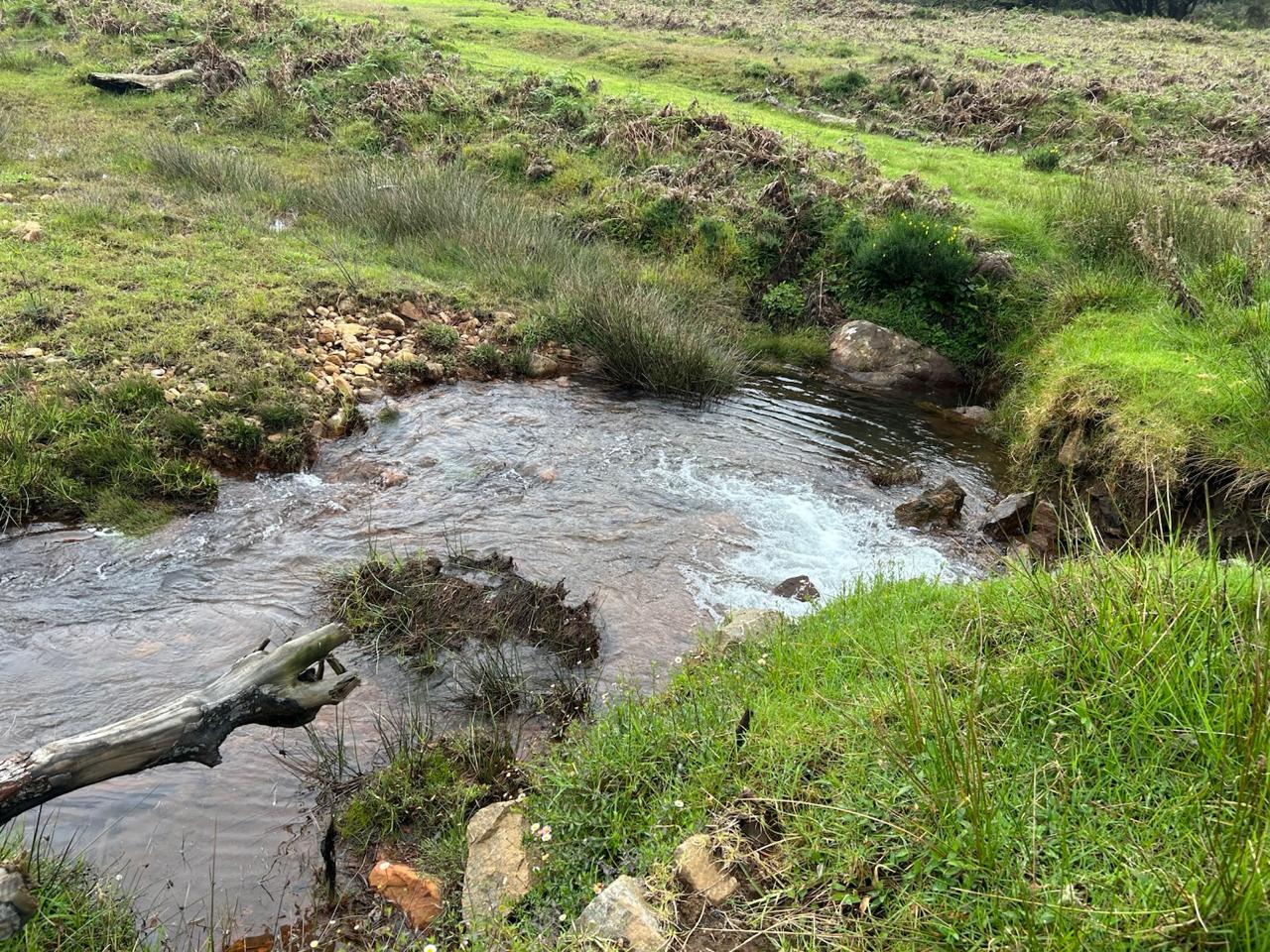
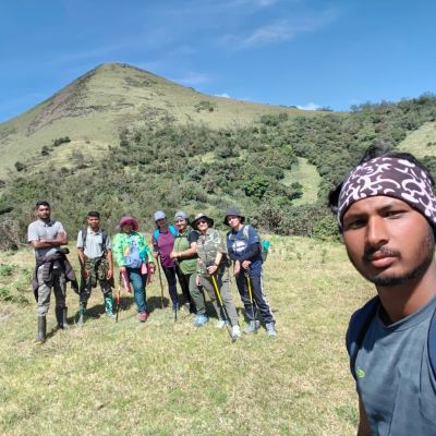
From Cauliflower Shola, our trail begins with a somewhat steep one-foot-wide path that cuts through wattle thickets and shola patches and occasional small seasonal water streams. This climb takes about 20 to 30 minutes until we reach the Kolaribetta - Ramaiah Road junction Soon we emerged into wide meadows, their grassy slopes stretching like green carpets towards the sky. The weather was moody – clouds drifted low, condensation settled like dew on our clothes, and bursts of wind and rain lashed across the hillsides. Yet in moments the mist would part, revealing sweeping vistas of valleys and ridgelines rolling endlessly in the distance. . From the Kolaribetta - Ramaiah Road junction, we will have about 1-km slight descent to a beautiful brook which will be our first pitstop, and water refill point. Kolaribetta peak and an abandoned VHF repeater station with tower at the top will be visible from here. We have to cross this stream over a log of wood placed there, with the help of the guides, or cross getting your feet and shoes wet. From there, it will be a steady climb till we reach the top. As you climb up and up, the area that you will be able to see will increase exponentially. On the way up, there is a dilapidated trekking shed which couldn't weather the harsh climate and winds. As you near the top, the final gradient becomes a bit steeper but manageable. I don't want to describe the spectacle at the top. Let's experience it together.
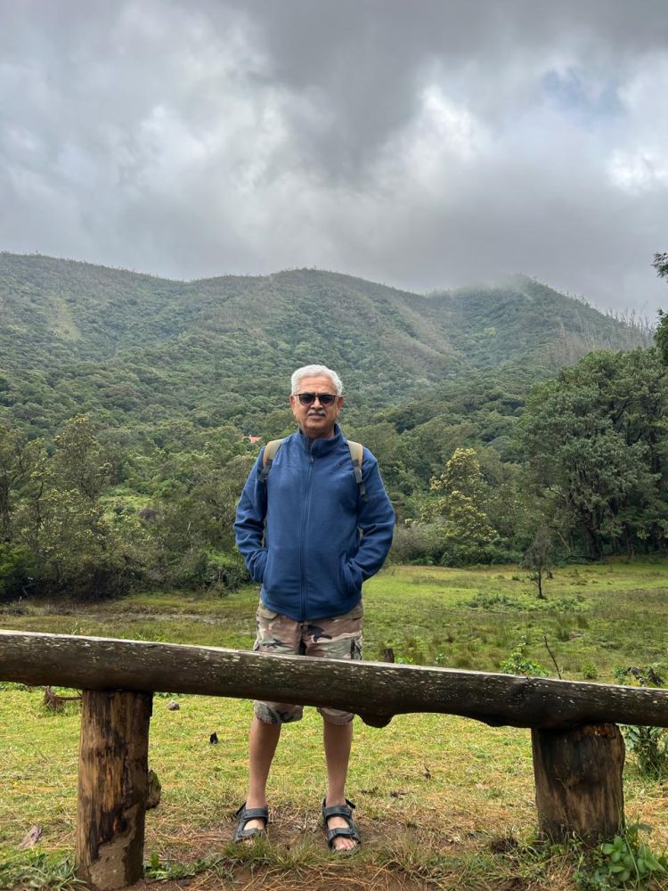
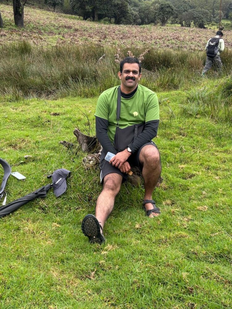
By the time we reached the top of Kolaribetta, the second highest peak in the Nilgiris, the sense of accomplishment was profound. The summit lay wrapped in shifting clouds, and we stood in awe, feeling small amidst nature’s grandeur. Time for awe, contemplation and admiration- a grounding realization as to how small we are. The wind and condensation were so much that we were thrown off balance and had to take shelter in the repeat tower building. This is where some people had some snacks and water to hydrate. We were at the top for about 30 minutes for rest and recuperation. The descent back to Cauliflower Shola was smoother, the trail easier on weary legs. Some of us took the water logged and slushy road to Cauliflower shola near the steep wattle patches descent. By mid-afternoon, we were back at the base, our hearts full from the experience of two days that had carried us from city lights to wilderness peaks. What impressed me most is the thoughtful initiative by the Government of Tamil Nadu in promoting eco-tourism and responsible trekking. These treks don’t just offer physical challenges—they reconnect us with the nature’s wonder in the most intimate and grounding way.
Return to Bangalore
The Bangalore Team decided to forego lunch and start straight away on our return journey to Bangalore. We had lunch in Ooty and had to take a detour through Gudalur, which increases the distance by 50 kms. The road to Masinagudi is blocked. Other than that, the journey is retracing the onward journey. Mysore was very busy with Navaratri celebrations and drone show, similar to firecracker display but without any noise and smoke. We reached home around 11.30 pm and had just enough time to watch India cricket team beating Pakistan in the Asia cup championship.
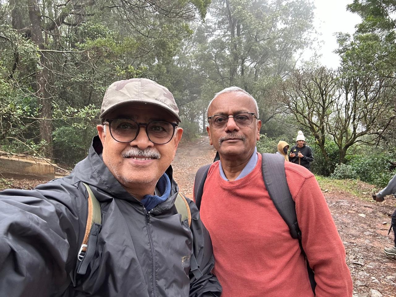
My sincere thanks to Rajesh Kuppadakath for taking us to the trek and bringing us back to Bangalore safely. Made a new friend on this trek. I will carry back the spirit of the Nilgiris and memories of friendship made, for a long time. My thanks to Thenmurugakani Sir for arranging a wonderful trek and to all the group members who took part in this trek.
Till we meet again.
Dr Vasanth K Joshi
Related Places

Other Travelogues
Avalanche to Devarbetta trek
Devarbetta, also known as Kwnttaihh, is the 5th highest peak in the Nilgiris and is sacred to the Toda community.
Anita
Through Mowgli’s Eyes: Misty Trails and Wild Whispers
A journey through Bandipur and Mudumalai where the mist whispered, the jungle breathed, and we walked in Mowgli’s footst...
Arpita Bhattacharjee

Masinagudi-A calm village
Masinagudi – About 240 km from Bengaluru, Masinagudi is a small forest village near the Mudumalai Tiger Reserve, on the ...
Suhas P
ഊട്ടിയിലേക്ക് ഒരു തീവണ്ടി യാത്ര🚃
ഊട്ടിയിലേക്ക് ഒരു തീവണ്ടി യാത്ര🚃
Jasmin Nooruniza

FIRST WILDLIFE EXPERIENCE
A thrilling account of my first ever wildlife experience in the western ghats three decades ago.
THENMURUGAKANI


TALES FROM WESTERN GHATS
The Sambhar Sentinel
THENMURUGAKANI